The upper portion of Wright Valley is divided in two by the imposing bedrock cliffs of The Dias. To the south is South Fork, and to the north is North Fork, fancy that.
Rachel, Kate, and I got a helo lift up to the upper slopes of North Fork, where there’s this isolated, tiny little pond glowing all blue amidst the orange rock.
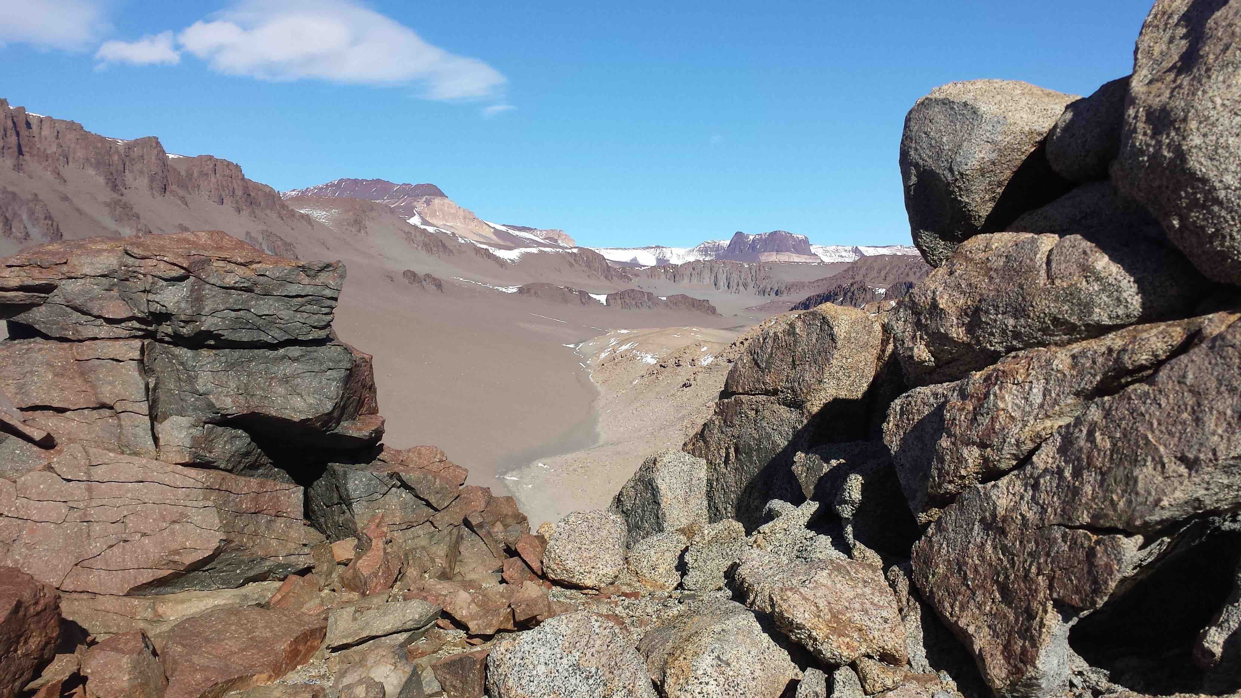
At the edge of a cliff looking into upper South Fork. The cliff is made of a dolerite dike next to a granitic host rock.
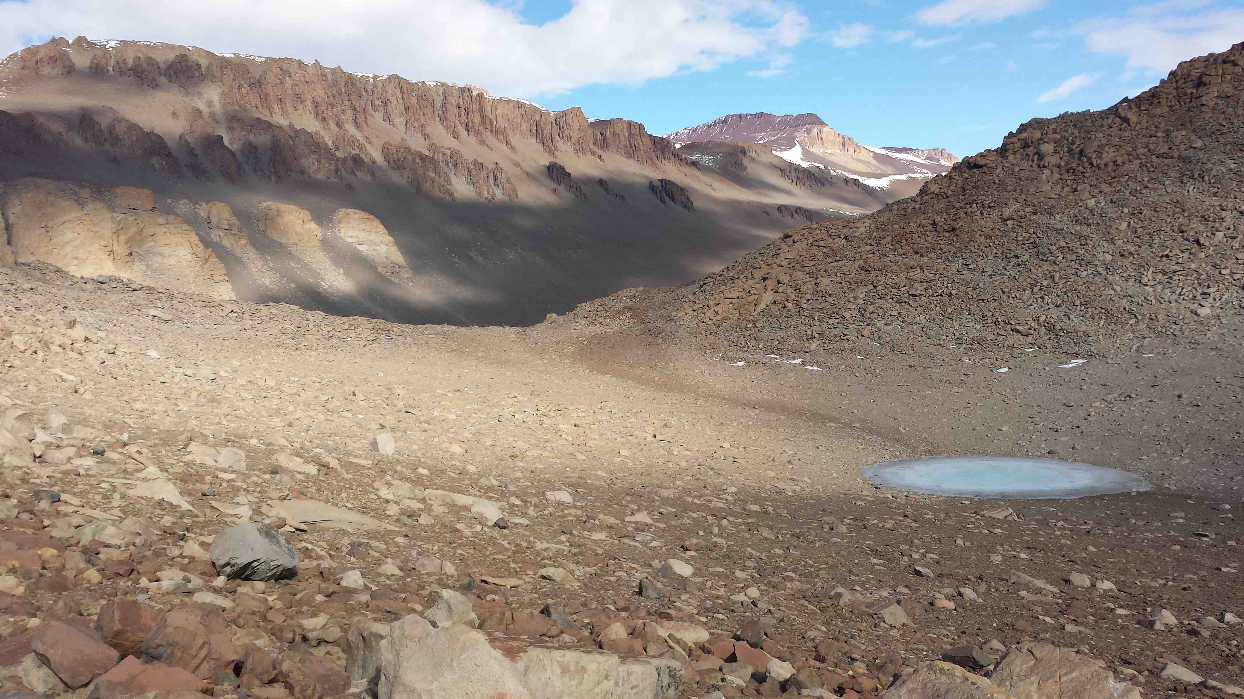
Tiny pond nestled in talus. Looking toward North Fork.
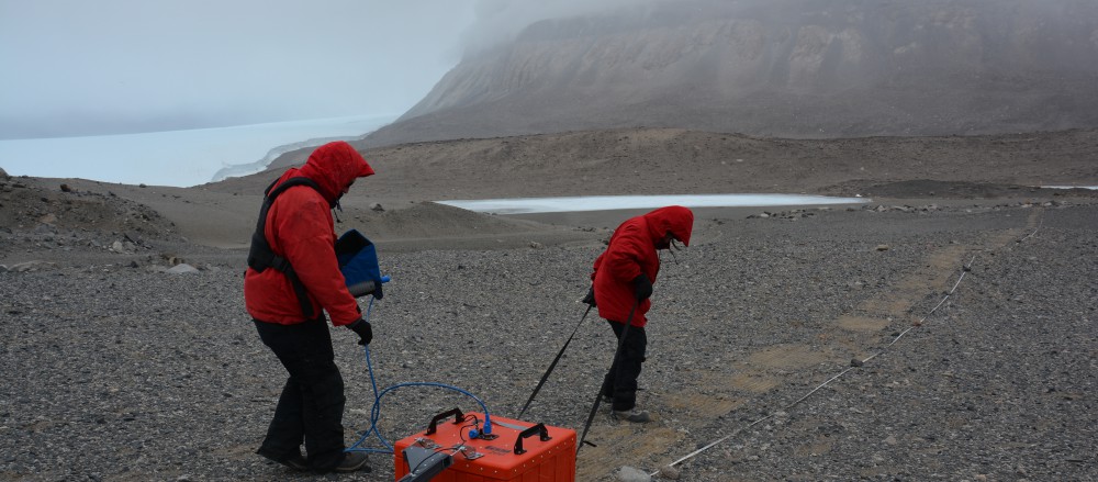
I sampled there for a bit, while Kate and Rachel hoofed it downhill to dig sediment pits. It’s a wonderful thing, feeling completely alone on a ridge, surrounded by silence and rocks.
I in fact became quite giddy, and had a fabulous day working downhill and to the east in a sampling transect. There’s a definite feeling of exploration. I mean, yes, other people have been there, but it doesn’t feel like they have. You feel like you’re discovering everything, and I think that that gives you a slight sense of…not quite ownership, but maybe an enhanced sense of place. Curiosity is at its peak when I’m hiking a new (to me) place while searching for interesting spots to sample. You notice more, when you’re looking for sampling sites.
And North Fork has so much sampling potential! It’s hard to constrain yourself from just waltzing up every ridge to see if there’s more to sample across the way. But, prioritizing samples is actually part of the fun.
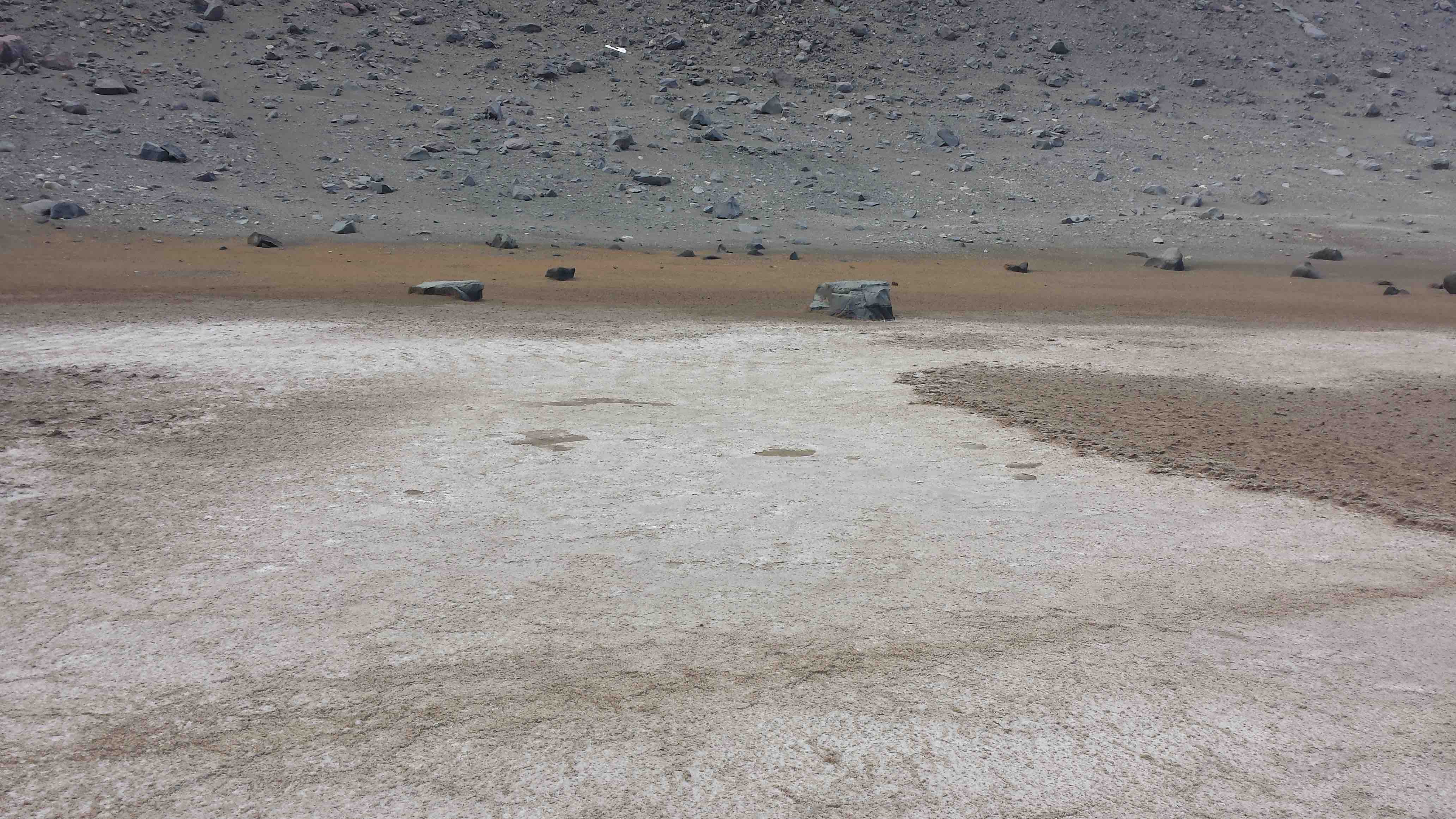
Salty old dried up pond. Salt! It makes these little ripple-like forms on the surface of the lake bed.
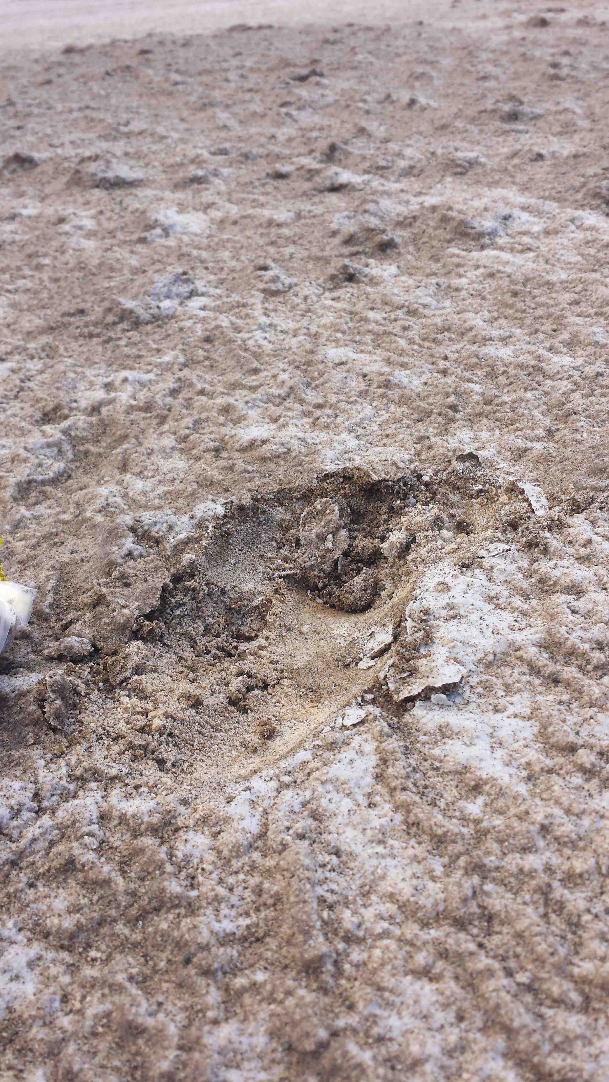
Digging into salty lake bed to find…more salt.