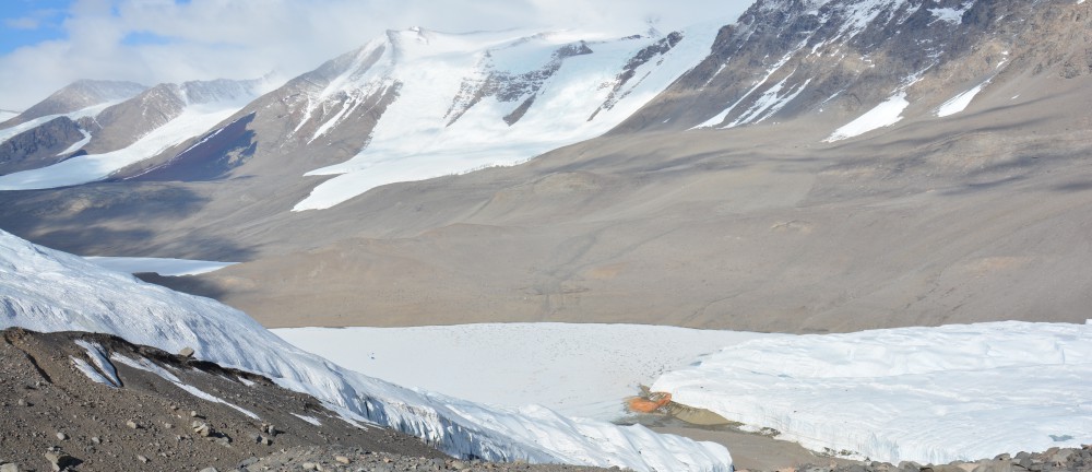
In the past, when thick ice from the Ross Sea blockaded Taylor Valley, glacial meltwater pooled into a large lake. This happened over and over again, as ice from the sea retreated and returned. When the lake was around, Taylor Glacier was probably smaller, although nobody really knows how small.
It’s strange to think that quite a sizable lake could grow in this very dry and frozen place. But we see lake deposits way up on the valley walls, stretching several hundred feet above the valley floor.
The lake sediments are fine, yellowish and silty, hidden beneath a thin veneer of granitic and basaltic cobbles. Kate, a new tech from the BFC named Sparky, and I hiked around today looking for lake sediments. We want to trace them far up the hillslope, mapping out their maximum height. And they’re high! Way, way above the modern Taylor Glacier.
It’s chilly work, though. It was a very cold day, cloudy with strong winds coming off the ice sheet. It’s extremely unpleasant to take notes and label sample bags in thin gloves when your body is already chilled. The hands stop working, and it takes much longer to do tasks, which means you’re out in the cold longer. There’s only so much hand warmers can do when your fingers are too cold to give off much heat.
Anywhoo, we were cold, but we did find lake sediments. Yellow silt buried under boulders, on the hillslopes, inside moraines, in gullies, everywhere. AND, we found a special surprise, as far as I’m concerned. Big old salt deposits! Powdery white, hardened halite (table salt) hanging out in clumps bigger than my fist. I love salt. And here, usually, salt deposits get larger as the landscape ages, which means we were probably on some pretty old terrain. I’d love to be able to calculate an age for the landscape.
